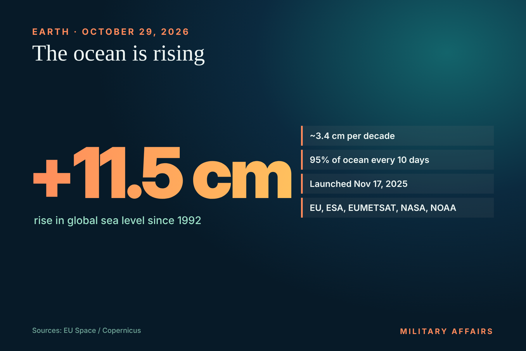
The Copernicus Sentinel-6B satellite entered operational service on October 29, the EU space program said. Launched on November 17, 2025, it maps up to 95 percent of the ice-free ocean surface every ten days, continuing a sea-level record that began in 1992.
According to those measurements, global mean sea level has risen more than 11.5 centimetres since 1992, an average of about 3.4 centimetres per decade, with the rise accelerating in recent years.
Why it matters
Sentinel-6B, a joint project of the EU, ESA, EUMETSAT, NASA and NOAA, replaces Sentinel-6 Michael Freilich from 2020. Its data are used for weather forecasting, hurricane tracking and coastal protection planning.
 LONG READAnalysis
 LONG READAnalysis
 LONG READAnalysis
 LONG READAnalysis
Comments 0
No comments yet.